Inspection & Survey

Facade & building envelope inspection

We fly at standoff distances that swing stages can't reach and spotting scopes can't resolve to deliver high-resolution visual surveys of your elevations. Best of all, you receive an organized, professional condition report — not a useless photo dump.

Method
01

Plan

Every detail — including airspace, authorizations, and elevation coverage — is fully planned before the flight. Because downtown Chicago is strictly controlled airspace, we secure all LAANC authorizations and site access well in advance, never on the morning of operations.
02

Survey

By systematically covering each elevation at a fixed standoff distance and precise overlap, we ensure your imagery remains perfectly comparable from elevation to elevation and year to year. Anything that warrants closer inspection gets dedicated detail passes to capture it.

03

Report

Every condition we find is clearly located, indexed, and described. When project scopes demand it, we deliver systematic, overlapping data capture optimized for your team's photogrammetry processing — a final asset your architect or engineer can reference directly.

Scope
  • Terracotta and masonry facade survey
  • Building envelope and sealant condition
  • Roof and parapet inspection
  • Thermal imaging
  • Photogrammetry capture — processing by your engineering team
  • Construction progress documentation
  • Insurance and claim documentation
Deliverable
FormatAnnotated condition report, indexed by elevation
ImageryFull-resolution stills, retained and re-deliverable
OptionalThermal overlay — see thermal services
TurnaroundDelivered within 5 business days of the flight
PricingQuoted per project — same-day number for most work
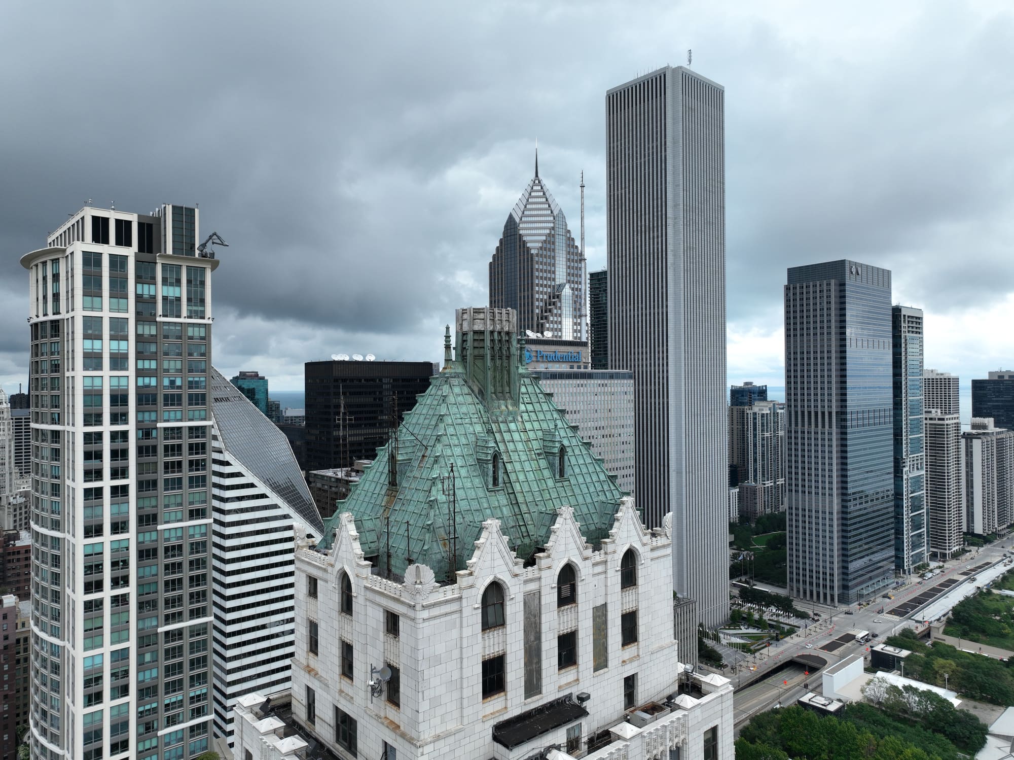
Drone photograph of a gothic terracotta crown and oxidized copper roof in downtown Chicago, surrounded by high-rises under an overcast sky.
Downtown Chicago. The buildings this work exists for.